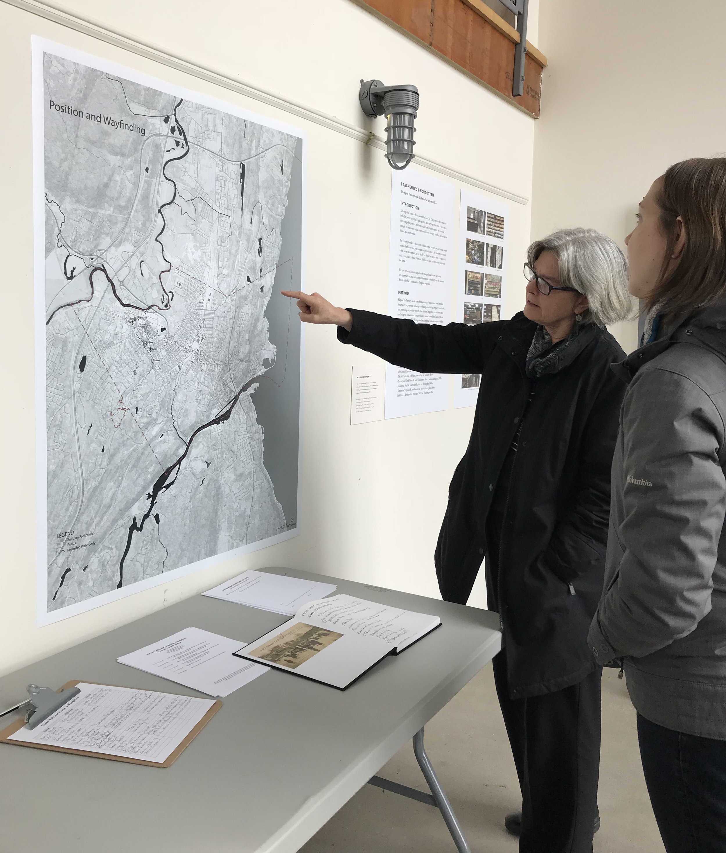
Fragmented & Forgotten: Tracing the Tannery Brook exhibit was on display at The Lace Mill in Kingston from March 3 through April 29, 2018. Historic maps of the Tannery Brook were shown with digitized maps, historic images, and text to visualize changes in and around the stream over time. These materials helped shed light on the Tannery Brook, and what it has meant to Kingston over time.
The exhibit at The Lace Mill explored the evolving relationship between the Tannery Brook and the Kingston community. It included copies of 29 historic maps, 27 digitized maps, 41 historic photos and paintings, 14 modern-day photos, and 11 excerpts of primary source documents. The earliest map of the brook was from 1685, and the most recent was from 2014. These materials were organized into five eras, and included interpretive text to tell the Tannery Brook's story over time.
Jiamin (Jasmine) Chen, a graduate landscape architecture student from Cornell University, assisted with curating the exhibit. Jasmine also created the digitized map series, based on historic maps, to visualize changes in and around the Tannery Brook with a consistent set of symbology.
Approximately 185 people visited the exhibit, including residents who live along the Tannery Brook, municipal officials and staff, local history experts, water management professionals, and many others. Although the show was originally planned to be up for one month, it was extended for another month due to local interest. The exhibit not only shared information about the Tannery Brook and its history, but it also created a space for people to gather and have conversations. People shared their knowledge and first-hand experiences with the brook, which added richness to the exhibit and helped identify opportunities for future work.
In addition to open viewing hours, several events were held in the space, including:
- a green infrastructure in Kingston workshop, in partnership with City of Kingston and Ulster County Department of the Environment;
- a lecture on the history of the Tannery Brook;
- two jazz concerts organized by bassist Michael Bisio; and
- a Heal Well Kingston gathering, sponsored by the City of Kingston.


Once you see where, how the streams ran initially, how they've be re-engineered, you can see where potential problems may arise. And there are other places in the City that have streams that have been buried, as well. They're out of scope for this project, but what Emily's done can inform these other areas, as well, as we research them.
— Kevin McEvoy, City of Kingston Conservation Advisory Committee/Kingston Land Trust
We got flooded out 15 years ago, when I ended up with four feet of water in my basement, and since then, we have taken measures to keep it from ever happening again. But I've always been interested to know where that stream went to. I knew it went to Tannery, it had to go to Tannery, because of the lay of the land. But I always wanted to look and see how the pieces went together.
— Bill More, resident on the Main Street Brook/retired NYS Department of Environmental Conservation
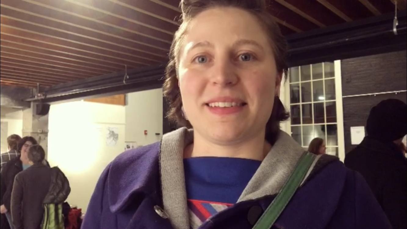
Perspectives from the Fragmented & Forgotten exhibit. March 3, 2018.
Videos by Zelda (aka Judith Z. Miller)
The exhibit was supported by the NYS Water Resources Institute at Cornell University and the Hudson River Estuary Program of the NYS Department of Environmental Conservation, with support from the NYS Environmental Protection Fund.
Special thanks also go to Todd Walter, Brian Davis, City of Kingston, Ulster County, Friends of Historic Kingston, Senate House State Historic Site, New York State Library, RUPCO, The Lace Mill, Timely Signs, Main Printing in Poughkeepsie, and Kristopher Konyak for their assistance and support.
