The Project is an extension of Emily Vail's graduate school research to study the history of the Tannery Brook. This work can help us understand current conditions and improve decision-making for the future.
Many people have asked me, "Why do you care about the Tannery Brook?" Small streams are almost like an endangered species. So many small streams have been buried or moved out of the way of development, that they are actually increasingly rare. Even in cities, streams can improve water quality and provide habitat for fish and wildlife. Although urban streams can cause flooding problems, they can also reduce flooding and help with climate resiliency. In many cities, rivers or streams are assets that provide aesthetic value or recreational opportunities. Today, we need a better understanding of urban stream systems so they can be protected or improved. Even small streams can have a big impact.
This research not only helps the Tannery Brook, but also relates to urban streams generally. Many cities have buried streams, and this detailed, local analysis can provide insight on trends and decision-making around water in cities that is broadly applicable.
In 2016, I started studying the municipal parking lots on North Front St. in Kingston, as my research for my Masters in Natural Resources from Cornell University. My goal was to better understand runoff by monitoring the green infrastructure that was installed there. One of the first questions I asked was, "Where does the water go?" Now when it rains, runoff from the parking lots soaks directly into the soil, rather than into drains that connect to storm sewers. I started looking at the stormwater system, and I found the Tannery Brook buried nearby.
The more I learned about the Tannery Brook, the more questions I had. As I started pulling at this thread, I found it attached to the history of Kingston, municipal infrastructure and governance, land use change, and a variety of ways that the stream was used that are difficult to imagine today.
Tracing the Tannery Brook
This project examines the history of the Tannery Brook through 4 major themes over time:
- land use changes,
- the process of fragmentation,
- the location of the Tannery Brook and its tributaries (morphology), and
- uses of the stream (ecosystem services).
The goal is to share the Tannery Brook's story, so that we can better understand urban streams and what it might take to improve them in the future.
I will be writing about the Tannery Brook for my thesis, and expect to have it complete by Fall 2018. I also showed this work as Fragmented & Forgotten: Tracing the Tannery Brook, an exhibit at the Lace Mill (March-April 2018).
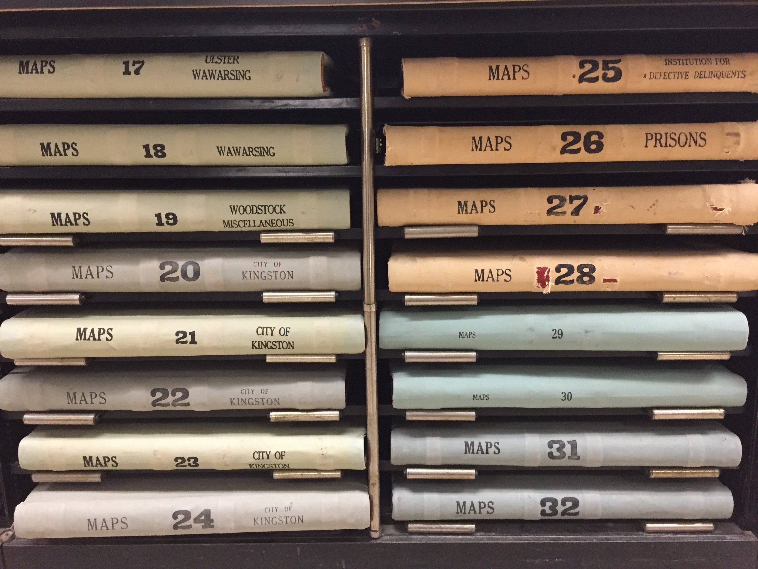
I have gathered historic maps, historic images, local history narratives, newspaper articles, and other original documents to learn more about the Tannery Brook and water in Kingston. These materials either directly discussed the Tannery Brook, or provided context for conditions or decision-making that impacted it.
Maps in particular provided valuable information for this project. Maps of the Tannery Brook were intended for a variety of purposes, including wayfinding, establishing property boundaries, and proposing engineering projects. Jiamin (Jasmine) Chen, a graduate landscape architecture student from Cornell University, collaborated on this project by creating a series of digitized maps. These maps visualize changes in and around the Tannery Brook with a consistent set of symbology, so it is easier to compare the maps over time. Jasmine matched each historic map to a base map using roads and other features from the time, and traced important content (such as land use, property boundaries, buildings, and uses of the stream) in Adobe Illustrator. Many of the digitized maps include our best assumption of where streams would be at the time, if they are not fully mapped on the original map. In some cases we have juxtaposed multiple maps to show a broader, watershed perspective on the Tannery Brook.
Materials came from a variety of sources, including the City of Kingston, Ulster County archives, NYS Library, Senate House State Historic Site, Friends of Historic Kingston, and Cornell University Map & Geospatial Information Collection.


This work is supported by the NYS Water Resources Institute at Cornell University and the Hudson River Estuary Program of the NYS Department of Environmental Conservation, with support from the NYS Environmental Protection Fund.